


Validation Workshop and
Hands-on Training
on Harmonized Groundwater Recharge Estimation
Joint Regional Study — Horn of Africa Groundwater for Resilience (HoA-GW4R) Program
Groundwater is a vital resource supporting domestic water supply, agriculture, livestock, industry, and ecosystem sustainability across the IGAD region. Reliable estimation of groundwater recharge is essential for understanding aquifer replenishment and improving groundwater assessment and management.
Under the HoA-GW4R Program, harmonized groundwater recharge estimation approaches have been developed to promote consistency and comparability among IGAD Member States. This four-day workshop was organized under the Joint Regional Study (JRS) consultancy on groundwater recharge estimation and combined hands-on technical training with a formal technical review and validation of the regional recharge outputs.
Executive Summary
The Joint Regional Study (JRS) on Harmonized Regional Groundwater Recharge Estimation for the IGAD Region, under the HoA-GW4R Program, aims to establish a scientifically robust and reproducible framework for regional groundwater recharge assessment. As a key consultancy milestone, this Regional Technical Hands-on Training and Validation Workshop was conducted at ICPAC, Nairobi, from 20–23 July 2026.
The workshop brought together groundwater, hydrology, GIS, remote sensing, IT and water-resources experts from Djibouti, Ethiopia, Kenya, Somalia, Uganda, South Sudan, and Sudan, together with representatives of IGAD and ICPAC. The programme combined technical training, hands-on implementation, technical validation, and regional knowledge exchange.
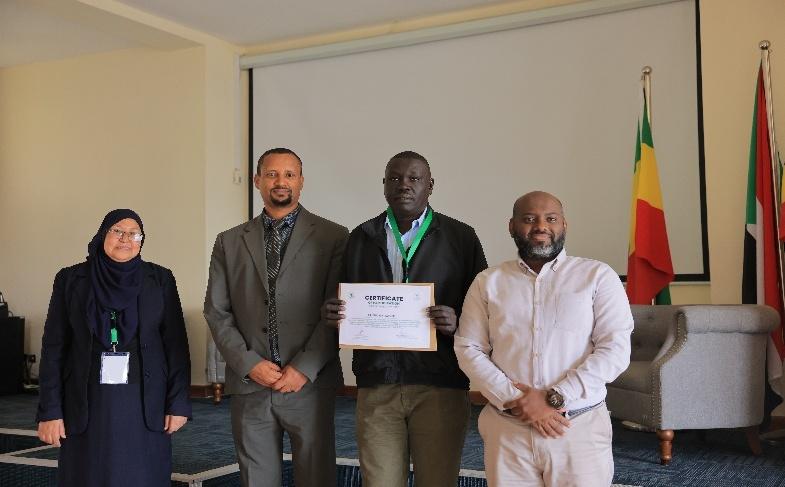
The technical comments, observations, and recommendations from participants were incorporated, as appropriate, into the refinement of the final groundwater recharge assessment, maps, datasets, methodology, and supporting consultancy documentation. The training concluded with the award of certificates to each participating expert.
- → Alan MacDonald (2021) equation
- → Bredenkamp et al. (1995) equation
- → Implementation in R & QGIS
- → Recharge map generation
- → Principles of soil water balance
- → Meteorological & spatial dataset prep
- → Implementation in GEE & Python
- → Recharge mapping & validation
Day 1 — Monday, 20 July 2026
Introduction to Groundwater Systems & Empirical Methods in QGIS
Day 2 — Tuesday, 21 July 2026
R Programming, Recharge Maps & Google Earth Engine Setup
Day 3 — Wednesday, 22 July 2026
Python Scripts, GEE Visualization & Map Validation
Day 4 — Thursday, 23 July 2026
Technical Review, Validation of Regional Outputs, Group Discussions & Closing
Workshop Outcomes & Recommendations
Capacity development results and key technical recommendations
Technical Validation
The harmonized recharge framework and regional products were reviewed by experts; constructive feedback on methodology, datasets, parameters and uncertainty was incorporated into the final consultancy outputs.
Capacity Development
Participants gained hands-on experience in empirical recharge equations, soil-water-balance modelling, R, QGIS, Python and Google Earth Engine, strengthening independent-application capacity.
Improved Reproducibility
Standardized datasets, scripts, project files and training manuals were distributed, creating an operational bridge to future national implementation.
Strengthened Regional Collaboration
The workshop created an important forum for technical interaction among groundwater professionals from IGAD Member States, reinforcing the need for continued cooperation.
Consolidated Regional Methodology
A common methodological framework was established, combining standardized datasets, harmonized methods, reproducible workflows, GIS-based spatial analysis, cloud processing and expert-validated outputs.
Regional Applicability
Harmonization provides a common methodological and data framework — not uniform recharge assumptions — through which spatial and environmental differences are consistently represented and compared.
Key Technical Recommendations and Follow-up Actions
- Institutionalization of the harmonized methodology — maintain it as the common technical reference for future regional groundwater assessments under IGAD.
- Continued capacity development — additional national and regional training in R, Python, Google Earth Engine, QGIS and spatial data management.
- Regular updating of input datasets — periodically refresh climate, soil, land-cover and hydrogeological datasets.
- Strengthening groundwater monitoring — prioritize groundwater-level and spring monitoring, streamflow and rainfall observations, and abstraction monitoring.
- Continued validation — treat validation as an ongoing process, reassessing and recalibrating estimates as new observations become available.
- Integration with groundwater management — feed recharge products into abstraction planning, vulnerability assessment, drought early warning and transboundary aquifer management.
- Regional data governance — establish clear institutional arrangements for data ownership, quality control, versioning and long-term maintenance.
- Development of a sustainable regional technical platform — maintain the tools and scripts as a reusable platform rather than one-time consultancy outputs.
Technical Validation and Feedback Matrix (Annex 8)
| Issue / Comment | Technical Response | Action Taken | Status |
|---|---|---|---|
| Methodological approach | Methodological basis, assumptions, and applicability were reviewed. | Method refined and documented. | Addressed |
| Spatial availability and variability | Spatial recharge patterns were assessed against expert knowledge and field experience. | Spatial interpretation strengthened. | Addressed |
| Expert / ground-based interpretation | Ground knowledge was considered in interpreting recharge patterns. | Expert observations incorporated. | Addressed |
| Input datasets and quality | Dataset coverage, resolution, consistency, and suitability were reviewed. | Data processing and harmonization documented. | Addressed |
| Parameter selection | Key parameters and assumptions were reviewed and justified. | Parameter justification strengthened. | Addressed |
| Sensitivity analysis | Sensitivity of recharge estimates to key inputs and parameters was assessed. | Sensitivity results incorporated. | Addressed |
| Validation approach | Validation procedures, reference data, and performance were clarified. | Validation analysis and limitations documented. | Addressed |
| Spatial consistency | Recharge patterns were checked against hydro-climatic and groundwater conditions. | Spatial consistency assessment incorporated. | Addressed |
| Mapping and visualization | Recharge maps were reviewed for clarity and practical interpretation. | Maps and visualization refined. | Addressed |
| Uncertainty and applicability | Key uncertainties and practical uses of the recharge layer were discussed. | Uncertainty and application guidance documented. | Addressed |
Participants & Institutional Representation
Groundwater, hydrology, GIS, remote sensing, climate and water-resource professionals
Regional scientists from Djibouti, Sudan, South Sudan, and Uganda and technical experts and representatives from the Ministries of Water of Kenya, Ethiopia, and Somalia actively participated in the technical review and validation discussions, alongside representatives of IGAD and ICPAC.
| # | Name | Position | Country |
|---|---|---|---|
| 1 | Dr. Maha Abdegaffar Abdelerahim Ismail | Regional Expert | Sudan |
| 2 | Dr. Abdoulrahman Houmed Gaba | Regional Expert | Djibouti |
| 3 | Mr. Deng Santino | Regional Expert | South Sudan |
| 4 | Dr. Hellen Aluku | Regional Expert | Uganda |
| 5 | Mr. Solomon Kenea | National Expert | Ethiopia |
| 6 | Mr. Feyessa Kabeto | National Expert | Ethiopia |
| 7 | Ms. Farhia Ahmed Abdulahi | National Expert | Somalia |
| 8 | Mr. Mohamed Abdulkadir Mohamed | National Expert | Somalia |
| 9 | Mr. Awies Abdinur Ahmed | National Expert | Somalia |
| 10 | Mr. Mohammed Mukhtar Muallim | National Expert | Somalia |
| 11 | Dr. Okoth Owuor | National Expert | Kenya |
| 12 | Ms. Margaret Irungu | National Expert | Kenya |
| 13 | Ms. Joline Acheing | National Expert | Kenya |
| 14 | Dr. Samson Oiro | National Expert | Kenya |
| 15 | Mr. Charles Kioko | National Expert | Kenya |
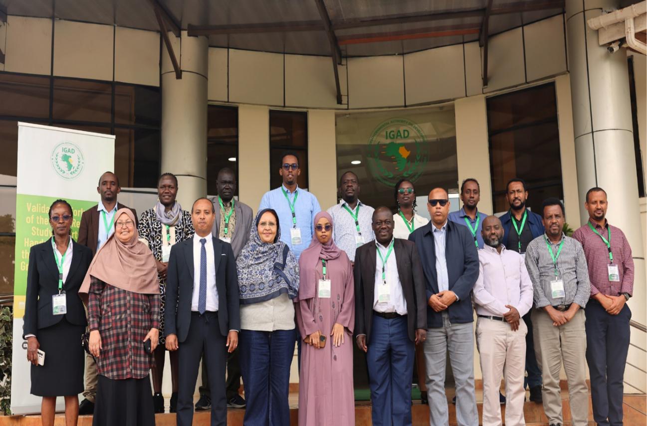
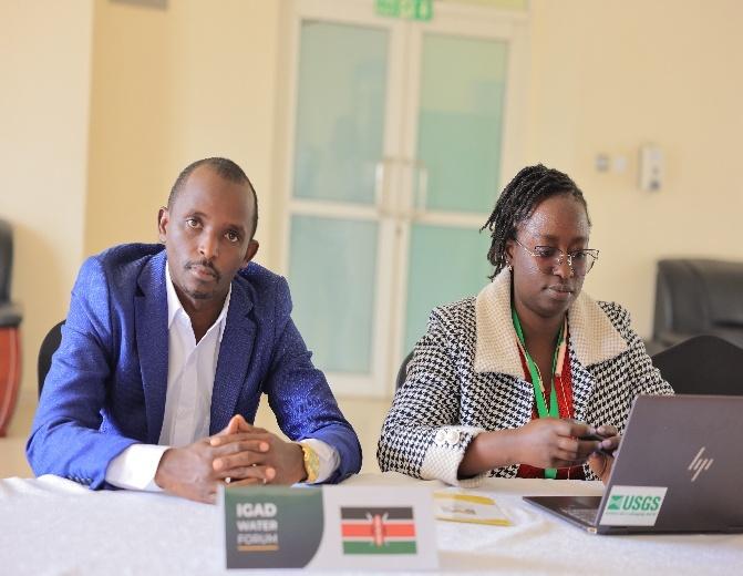
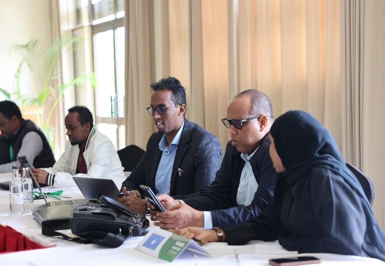
Workshop Photographs (Annex 7)
Conclusions & Downloads
Report summary, full document and supporting annexes
Conclusions
The Validation Workshop and Hands-on Technical Training conducted at ICPAC, Nairobi, from 20–23 July 2026, constituted a major milestone in the Joint Regional Study on harmonized groundwater recharge estimation under the HoA-GW4R Program. It successfully integrated technical validation, practical capacity building, methodological harmonization, knowledge exchange, and stakeholder consultation.
Overall, the workshop demonstrated that the developed framework provides a transparent, reproducible, and regionally harmonized basis for estimating groundwater recharge across the IGAD region — representing an important step toward a sustainable regional technical capacity and common methodological foundation for groundwater assessment and management in the Horn of Africa.
- Annex 1 Workshop Programme
- Annex 2 Technical Training Manual
- Annex 3 Geospatial Datasets
- Annex 4 R Codes and Scripts
- Annex 5 GEE-based Python Codes and Scripts
- Annex 6 Workshop Participants
- Annex 7 Workshop Photographs and Documentation
- Annex 8 Technical Validation and Feedback Matrix
Groundwater Interviews
Interviews recorded as part of the HoA-GW4R program · IGAD Member States
HoA-GW4R Program — Groundwater Interviews — Interviews with experts, consultants and groundwater professionals from IGAD member states, sharing their experiences on recharge estimation methods and sustainable aquifer management in the Horn of Africa.